Project story
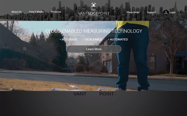
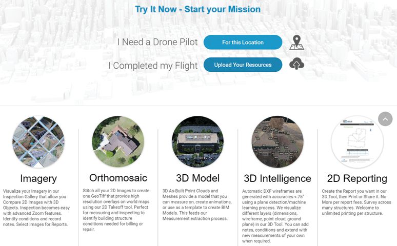
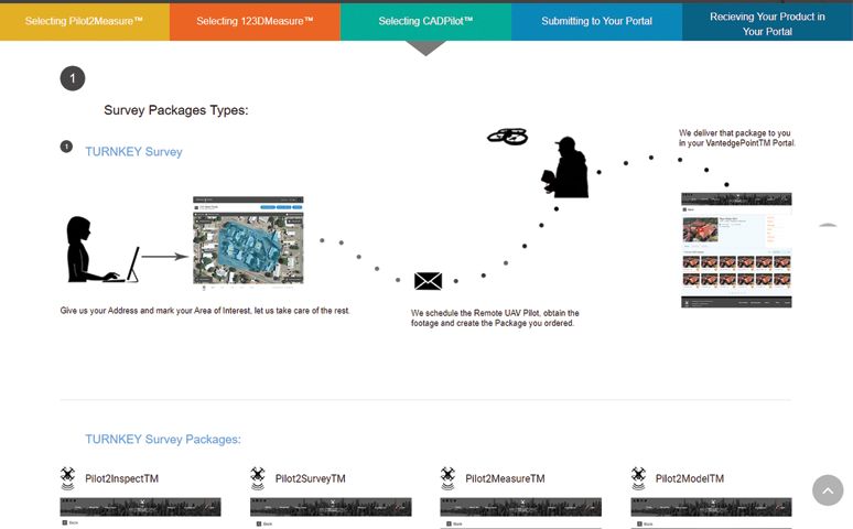
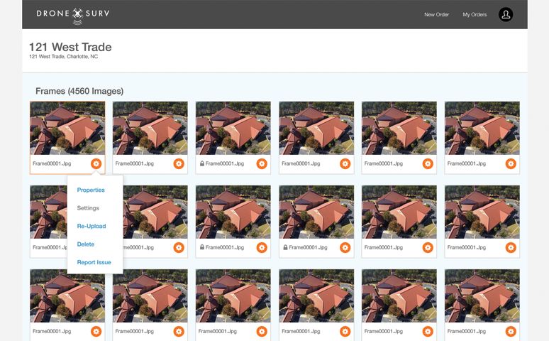
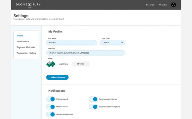
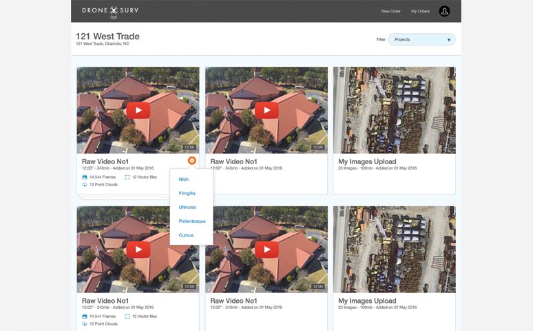
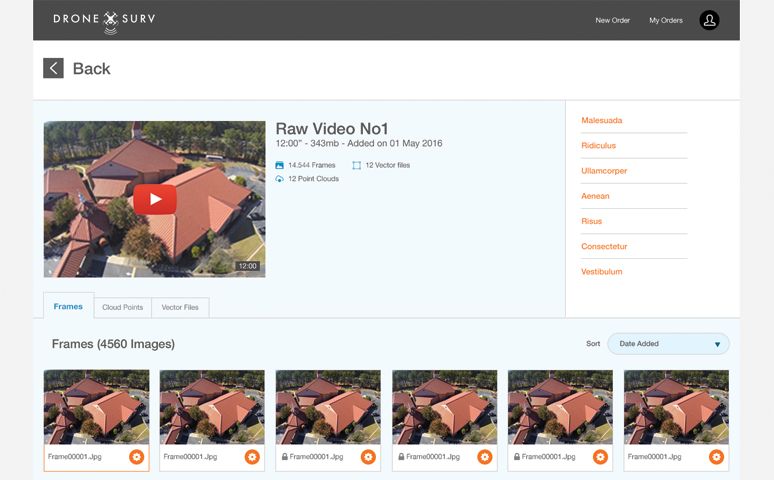
To take the roof measuring industry to a whole new level, VantedgePoint asked us to build a complex measurement system, using drones. The client creates an account, then chooses a services package and a property type. The fun part begins at generating reports and 3D models. These are based on accurate measurements gathered by drones.
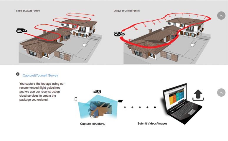
A detailed plan is created in a web interface for the pilot, which includes the take-off and landing time and the type of overflight (snake or orbit). Based on the type of camera used and the overflight type, some calculations are made: flight altitude, distance, duration of flight and the angle that the pictures should be taken in.
